Why drones, why now?
Two industries power much of Australia: agriculture and mining. Both rely on constant inspections, whether it’s crops, water, machinery, conveyors, pit walls, or tailings dams. Traditionally, these jobs are time-consuming, expensive, and often risky.
Enter drones. These compact flying platforms collect repeatable, high-quality data quickly. The real benefit isn’t just the “cool tech”, it’s the safer decisions, faster insights, and major savings that come when you can see everything from above.
Australia's Unique Challenges
Australia’s scale is huge. Broadacre paddocks and open-cut mine sites stretch for kilometres, with terrain that’s harsh, weather that’s unpredictable, and access that’s restricted.
Drones reduce those barriers: fewer boots in hazardous areas, fewer shutdowns, and more accurate data delivered directly to managers who need it.
What are the Rules?
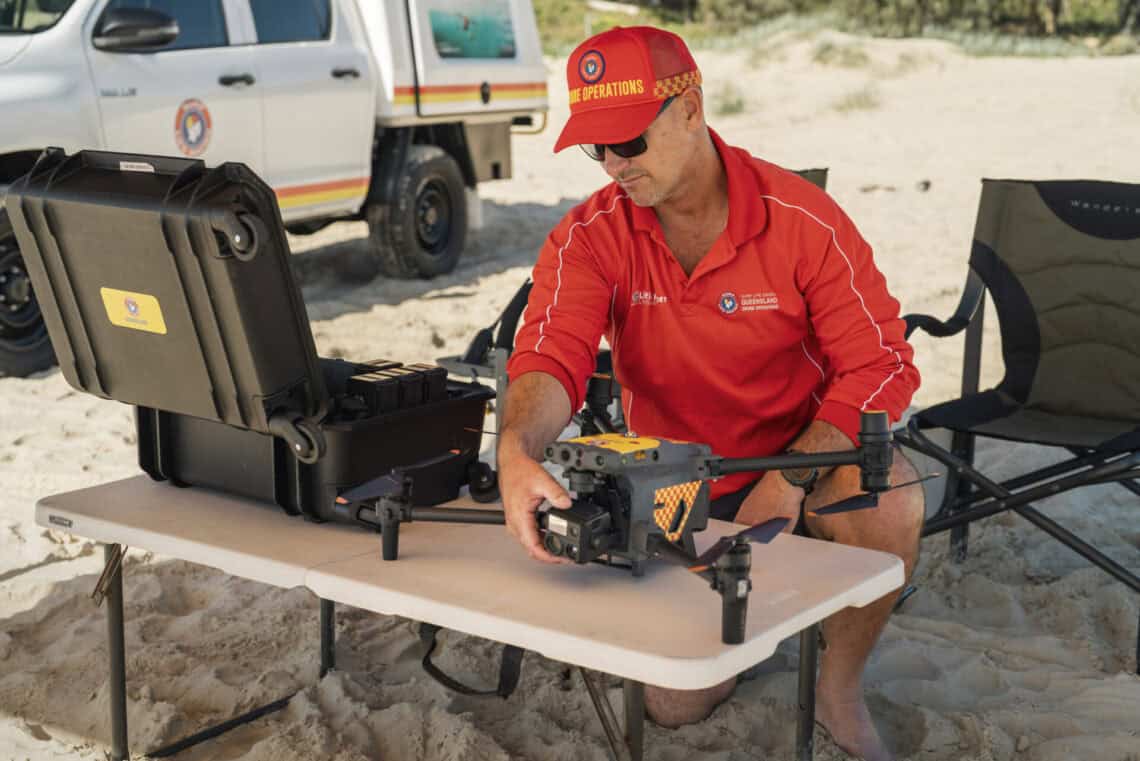
In Australia, all commercial drone operations are regulated by CASA. If you’re flying for payment (or outside “excluded” conditions), you’ll need a RePL (Remote Pilot Licence) and to operate under a ReOC (Remote Operator’s Certificate), or work with someone who holds one.
Key points:
- Registration, operational records, and weight categories are critical (especially above 2 kg and 25 kg).
- On your own land, some activities may fall under the excluded category, but you can’t accept payment.
- Always ensure your aircraft, category, and records match the work you’re doing.
BVLOS is opening up
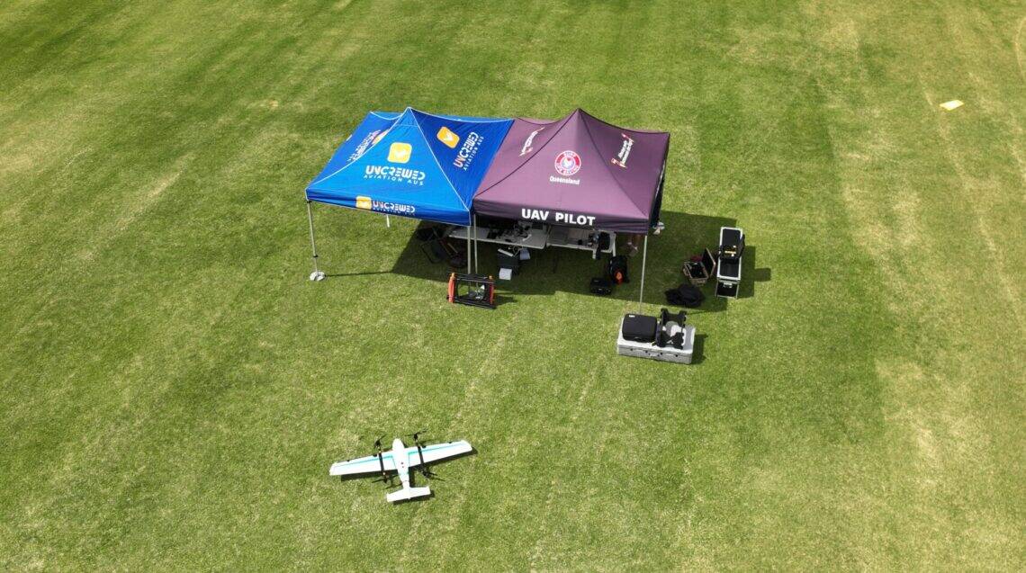
The big leap for large farms and mines is BVLOS (Beyond Visual Line of Sight). Instead of chasing drones around in a Ute, BVLOS allows long-range flights to cover far more ground.
CASA provides pathways for approvals and is moving toward broad-area BVLOS frameworks designed to scale operations more safely and efficiently. In practice, this unlocks longer flights for stockpile surveys, fence-line patrols, and crop monitoring, especially with fixed-wing platforms and docked systems.
Special operations: spraying, mapping, and private land
Spraying and spreading add extra requirements around aircraft weight, endorsements, and approvals. Many operators start with mapping, refine their SOPs (Standard Operating Procedures), then step up to spraying once compliance is locked in. Above 25 kg, additional approvals and procedures apply.
Drones in Agriculture: Real-World Value
Crop scouting and NDVI maps
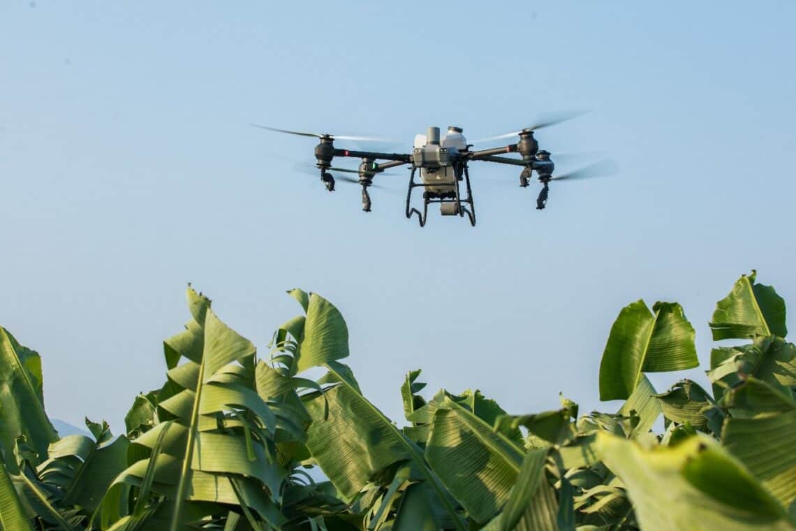
Drones with multispectral sensors produce NDVI and vegetation indices, showing crop stress before the eye can see it, flagging issues like pests, nitrogen deficiency, or waterlogging.
A simple first workflow:
- Plan the mission (altitude, overlap, speed).
- Fly and capture (consistent lighting helps).
- Process to maps (orthomosaics, NDVI), then ground-truth a few points before acting.
Even a standard RGB camera can highlight patterns; multispectral adds deeper insights.
Irrigation and soil variability
From above, irrigation problems and wet patches stand out. Seasonal flights show whether fixes worked, cutting the guesswork from water management.
Livestock monitoring and fence checks
Thermal and RGB sensors make it easy to locate stock, check fences, and spot damage—especially after storms or in hard-to-reach areas.
Weed detection and targeted spraying
Spot weeds early, treat only affected zones, and save on chemicals. With approvals in place, drones turn maps into action through spraying and spreading.
Asset inspections
Quick aerial checks of sheds, silos, and solar arrays pick up issues before they escalate—without sending people up ladders.
Drones in Mining: Faster, Safer, Smarter
Stockpile volumetrics
Using photogrammetry, drones turn overlapping images into 3D models for accurate, repeatable volume calculations—without sending crews onto unstable piles.
ROI in action: Multi-day survey jobs shrink to hours, with less downtime and faster reconciliation.
Hazard-area inspections
Drones can safely inspect conveyors, crushers, and gantries, reducing the need for scaffolding or lock-outs. In pits, wall faces are scanned more often to support geotechnical teams.
Tailings dams and environmental monitoring
Routine aerial surveys track seepage, vegetation, and freeboard levels, supporting compliance and stewardship. Sensitive heritage zones can also be mapped with minimal disturbance.
Blast planning and assessment
Pre- and post-blast imagery helps validate blast patterns, measure throw, and assess muckpiles before crews re-enter.
The Data Layer
Sensors 101
- RGB – high-resolution images for mapping and inspections.
- Multispectral – NDVI and crop health data.
- Thermal – heat loss, livestock, and equipment checks.
- LiDAR – terrain mapping, canopy penetration, volumetrics.
From pixels to products
Drone imagery becomes orthomosaics, 3D models, and point clouds, which feed into CAD, GIS, and planning software. Digital twins let stakeholders “walk” sites virtually.
Integrations
Data is most valuable when linked to existing systems: ArcGIS, QGIS, SAP, Farm Management Systems, or custom dashboards. Automations can trigger alerts (e.g., “freeboard below threshold”) instead of hiding insights in folders.
Benefits That Matter
- Safety: Fewer hours in hazardous areas, fewer confined-space entries.
- Time and cost savings: Faster data, less downtime, lower operational costs.
- Sustainability: Reduced chemical use, lower emissions, early detection of environmental risks.
- Workforce skills: Upskilling regional teams creates higher-value jobs and reduces reliance on external contractors.
Choosing the Right Platform
- Multirotor: Best for close inspections, shorter flights, precision hovering.
- Fixed-wing: Ideal for BVLOS, large paddocks, and mine sites.
Check specs for endurance, payload, RTK/PPK, wind tolerance, IP rating, obstacle sensing, and parachute options.
Managing Risks
- Regulatory: Stay aligned with CASA guidance, especially for BVLOS and >25 kg operations.
- Operational: Plan around weather, EM interference, and battery limits.
- Data & privacy: Set clear data handling and storage protocols.
- Change management: Involve agronomists, surveyors, and maintenance leads early.
Case Snapshots
- Broadacre farm: NDVI flights guide variable-rate nitrogen use, cutting costs while maintaining yield.
- Open-cut mine: Fixed-wing BVLOS surveys build high-resolution spatial datasets, supporting expansion decisions.
The Road Ahead
- BVLOS corridors: CASA is moving toward scalable approvals for long-range flights.
- ADS-B integration: Wider adoption will improve situational awareness and safety.
- Autonomy and docked drones: “Drone-in-a-box” systems will deliver fully automated inspections.
Conclusion
Drones are no longer just a novelty in agriculture and mining, they’re becoming essential inspection tools. Start small with high-value use cases, nail compliance and repeatability, then integrate drone data into daily decisions.
With BVLOS pathways maturing and airspace tech evolving, coverage will grow, costs will fall, and insights will flow faster than ever. If you’ve been waiting for the right time to adopt drones in your operations, the time is now.